
Background
Geographic Information Systems, better known as GIS, is a system that has many features when interacting with data. It can create, manage, analyze or even map the data itself onto an interactive map based around a specific location. GIS places data onto a map, such as where things are, to descriptive information about how that specific place is or what is at that location. More companies are beginning to push int he direction of utilizing GIS because of how much of a value asset it is, especially when thinking about expanding profits and connections. This software system can also be good for improving communication as well as better management and decision making.
The purpose of me interacting with GIS was to give me a basic understanding of how the software works, what features it has, and how it can provide good benefits for a specific location or community. In this instance, my task was to develop a map that consisted of different establishments in Camden, New Jersey.
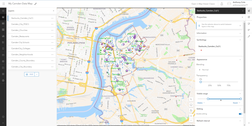
On the left of the map consists of the different layers that provide information for the establishments located on the map. For example, A few of the layers listed are Starbucks, Churches, Schools, etc. It serves the purpose of indicating the user of what is at that location. On the right, there is a menu section that goes more into detail about the information provided in that layer. If we look at Starbucks in Camden, we know that the location of every Starbucks establishment would be marked as a red dot. There are other settings located there as well.
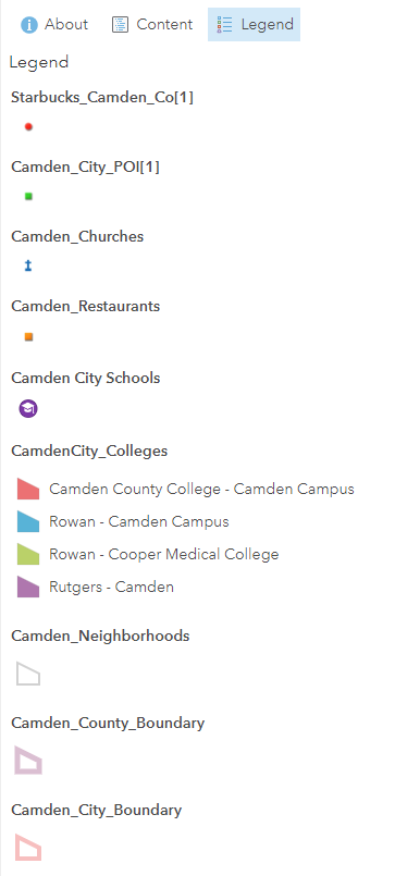
In the image below, there is a legend that symbolizes what symbol belongs to each establishment and location on the map. This gives the user a better idea of what exact piece of information they’re looking for.
Certificate of Completion
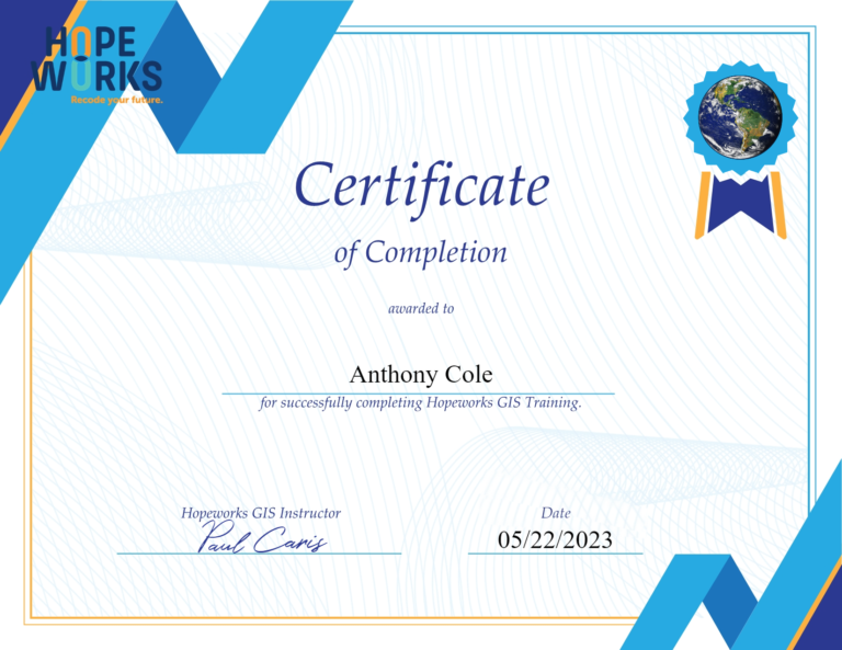
After completing the assignment and developing a better understanding of how GIS works and the impact it has on our day-to-day lives, I was rewarded a certificate of completion. This is an accomplish that proves that not only am I proven to know how to operate the systems, but it also shows that I can create future maps when the time calls for it.
Results and Takeaways
I have been able to gain experience in GIS from both learning and utilizing it at West Chester University as a student, as well as an intern at HopeWorks. Learning about this software made me realize how much value it holds in analyzing and implementing data. Many companies have been rapidly moving towards this product in order to capitalize on the opportunity for their business to grow in different areas. It has also served a purpose of forming connections and relationships with other potential partners and investors.
